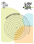
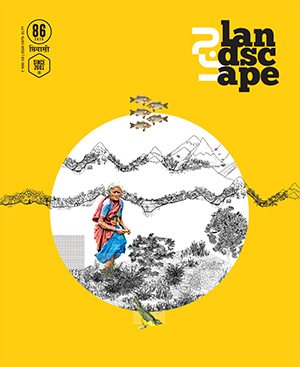
| mapping landscapes
TRANSECTS ACROSS THE GARHWAL HIMALAYAS
Ashim Kumar Manna
LA86 |
|
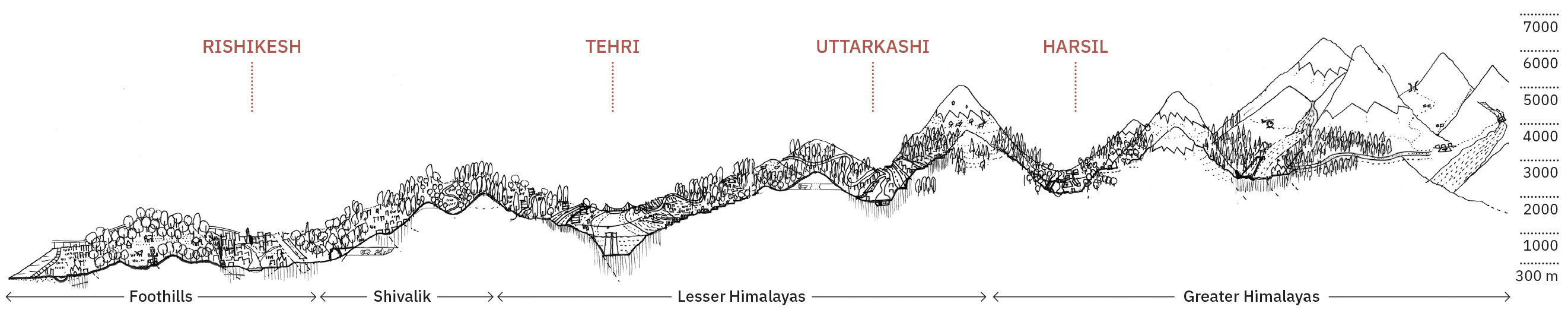
| Hand-drawn transects across the Garhwal Himalayas reveal how topography, infrastructure, tourism, and ecological change reshape settlement patterns, exposing evolving landscape–settlement entanglements and the necessity of multi-scalar mapping approaches in rapidly urbanising mountain terrain.
|
|
A necessity for reading the Himalayan landscape
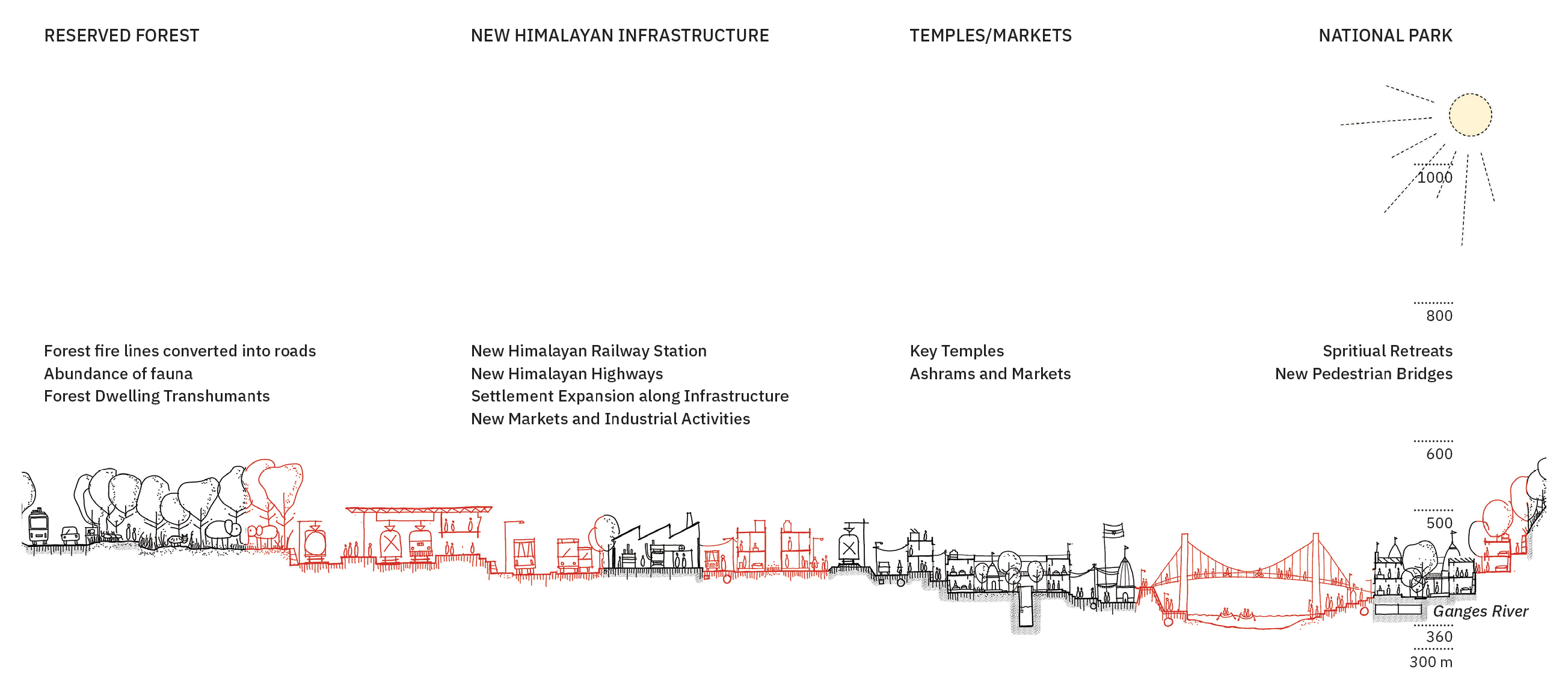
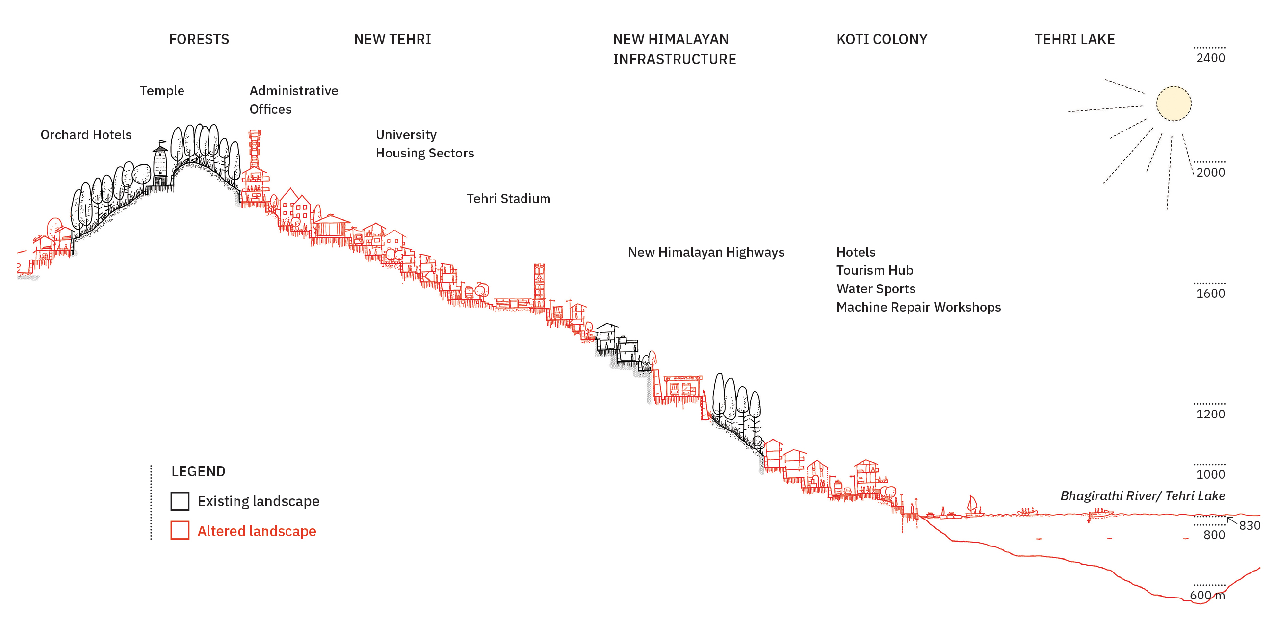
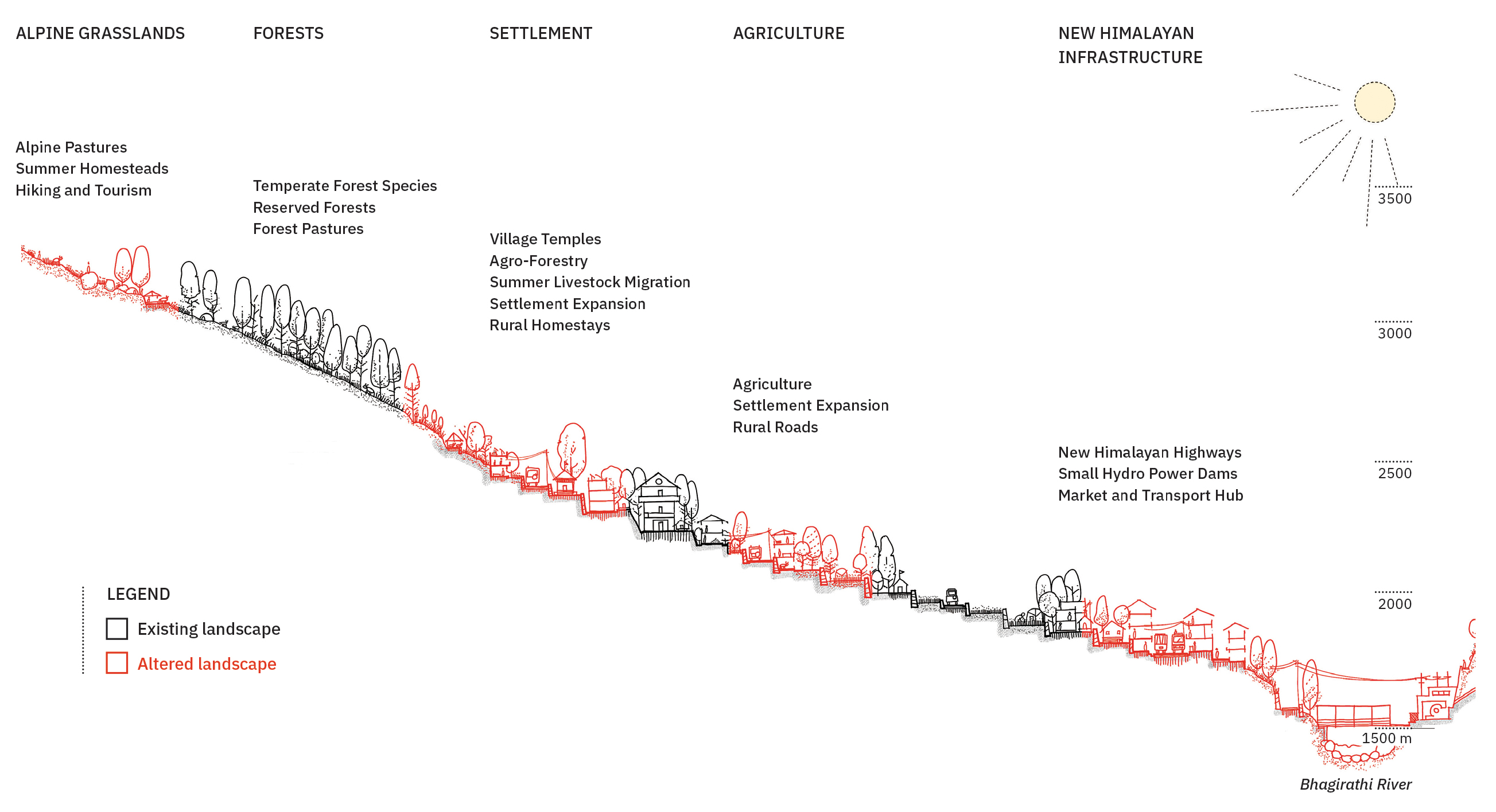
The diverse landscape of the Garhwal Himalayas, shaped by its forests, pastures, rivers, glaciers and steep topography, structures the lives, culture, and identities of its communities (Pathak, 2021). Differences between the foothills and high Himalayas have historically influenced migration, settlements, trade, and pilgrimage, producing distinct socio-economic, political, and cultural dynamics along altitude (Pande, 2018; Chanchani, 2019). Today, Garhwal is undergoing rapid transformation. Urbanisation, expanding infrastructure, including hydropower projects and highway construction, is accelerating socio-ecological change. As a major centre of pilgrimage, the Garhwal Himalayas experiences intense flows of pilgrims and tourists alongside large-scale developments. These processes are reconfiguring relationships between landscape and settlement, contributing to increased urbanisation, and increase in frequency of disasters (Manna et al., 2023). Himalayan settlements reveal an emerging dispersed urbanism aligned with infrastructure, marking a shift from patterns once guided by its landscape. As the Himalayas urbanise rapidly, analysing evolving landscape–settlement interactions becomes critical, underscoring the need for accurate mapping.
|

|
|

|
|
|
|
|


